
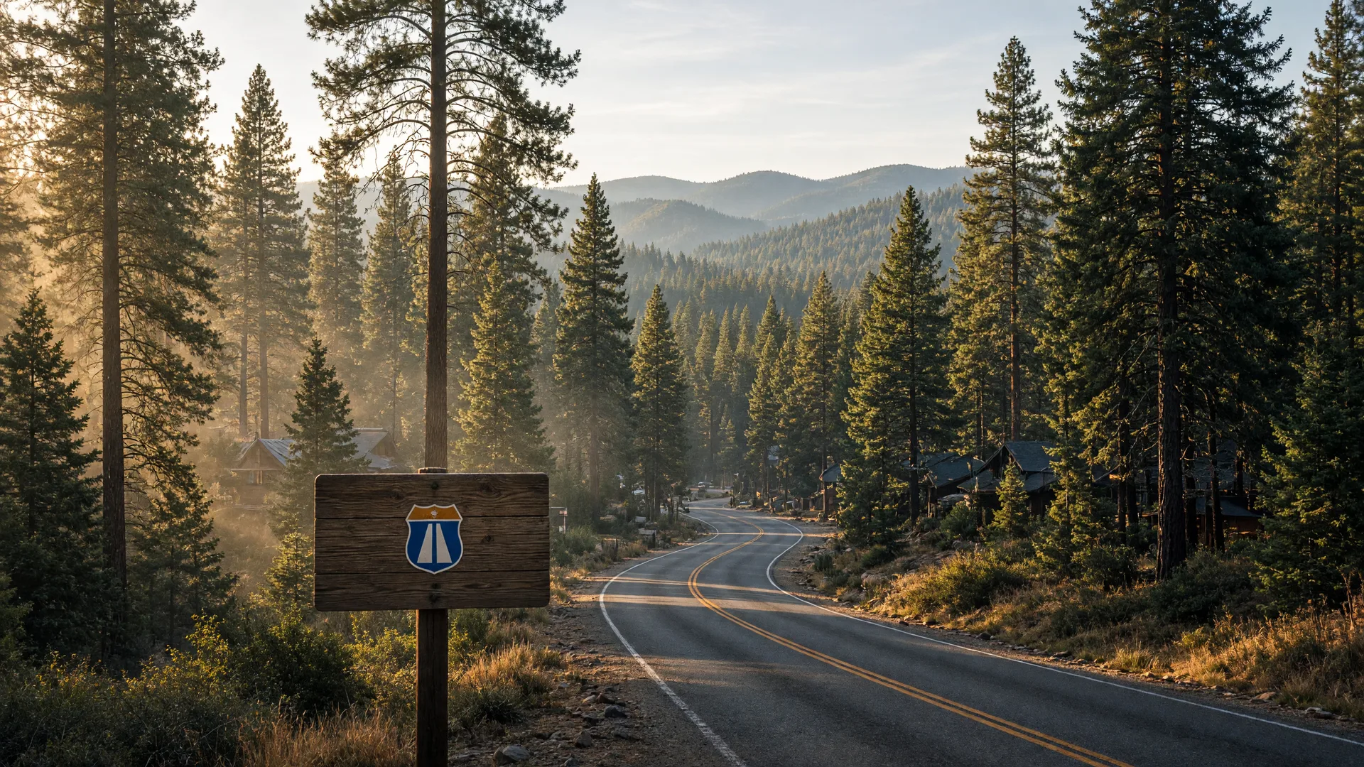
Pollock Pines, CA · 2026 Relocation Guide
Living in Pollock Pines, CA (2026 Guide)
Homes, neighborhoods, schools, commute, cost of living, and community life in the Sierra's forested gateway town on Highway 50, written for buyers, relocating families, and seniors planning their next chapter.
Researched and written by Mike Giancanelli, a licensed California Realtor (DRE #01086118) with 36 years of experience serving Sacramento, El Dorado, and Placer Counties, who has helped 290 families buy and sell homes across the region.
2020 U.S. Census: 7,112 residents
Redfin median sale ~$401K and Zillow average value ~$396K, 2026
Mountain gateway where Highway 50 climbs into the Sierra
About 28 miles to South Lake Tahoe on US 50
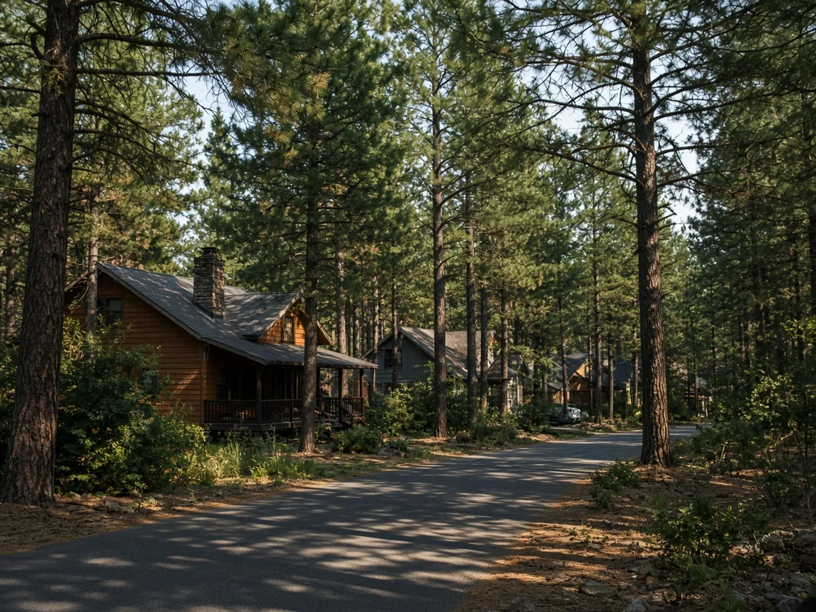
Forest living at 3,980 feet: pine-shaded lots and quiet lanes
What Is It Like Living in Pollock Pines?
Living in Pollock Pines means mountain-forest life at about 3,980 feet on Highway 50, the last true mountain community before the road climbs into the Sierras toward Tahoe. The census-designated place is home to about 7,100 residents, median home prices ran near $395,000 to $401,000 in 2026, Pollock Pines Elementary and Sierra Ridge Middle serve grades K-8 with El Dorado Union High for 9-12, and the drive to downtown Sacramento runs about 55 to 65 minutes.
For families and seniors, the appeal is the forest itself: tall pines, cool summers, the Eldorado National Forest and Crystal Basin recreation at the doorstep, and quieter, more affordable prices than Tahoe or the valley suburbs. Placerville's medical and shopping services are about 15 to 20 minutes down the mountain, so mountain life here never means giving up the county's amenities.
Jump to the section you care about.
Living in Pollock Pines: Quarterly Market Snapshot (2026)
The numbers below are the core facts buyers and movers ask about first. Population figures come from the U.S. Census Bureau; home price figures are the latest published medians from Redfin and Zillow for the 95726 area.
Redfin median sale ~$401K (March 2026); Zillow average home value ~$395.6K; median list prices ~$382K-$398K
2020 U.S. Census; up from 6,871 in 2010
Steady gains as the forested US 50 corridor attracts foothill buyers
About 15 to 20 minutes down US 50
About 55 to 65 minutes of driving via US 50
Sacramento, El Dorado, and Placer Counties for this guide
Why People Are Moving to Pollock Pines
Real forest, real quiet
Pollock Pines is pines and more pines: tall Sierra timber, forested lots, and a year-round community at the edge of the Eldorado National Forest, where the air is cool and the roads are quiet.
Recreation in the backyard
The Crystal Basin, Union Valley Reservoir, Sly Park's Jenkinson Lake, and the South Fork American River canyons put boating, fishing, hiking, and snow play within a short drive.
Approachable mountain pricing
With medians near $395K to $401K, Pollock Pines is one of the most affordable mountain communities in the region, far below Tahoe and many foothill suburbs.
Self-contained and welcoming
The town has its own schools, shopping center, medical clinic, and community events, and Placerville's full services are just 15 to 20 minutes down the mountain.
Pollock Pines Homes for Sale
Search live Pollock Pines-area listings on Mike's website, or ask him to set up a custom listing search for your exact needs: price, acreage, single-story requirements, and forest setting.
Pollock Pines Housing Guide: New Construction or Resale
New Construction
- New construction is limited but real on the forested edges of the community: modern mountain homes with efficient heating, snow-ready roofs, and space for the outdoor life.
- Plan on the custom timeline plus well, septic, driveway, and utility costs that run higher on forested parcels than on city lots.
- Most buyers come ready to design within the forest setting, where clearing, grading, and tree protection shape what can be built.
Resale Homes
- Practically all of Pollock Pines is resale: cabins, A-frames, chalets, and family houses on wooded lots, plus a few neighborhood clusters near the shopping corridor.
- Established properties deliver character and established landscaping at some of the region's most approachable mountain prices, usually with no HOA and generous lots.
- Older mountain homes may need updates to heating, wells, septic, roofs, or accessibility features, which a pre-offer inspection should identify.
Which one fits depends on your timeline and your tolerance for projects. Mike walks every buyer through the real costs of each path, including well and septic systems, snow and heating realities, and what the finished home is worth in that specific Pollock Pines setting.
Most Searched Neighborhoods in Pollock Pines: Finding Your Right Fit
Inside Pollock Pines, buyers search the forested lots along Pony Express Trail, the newer clusters near the shopping center, and the quiet pine lanes off Highway 50 most often. Around the region, these four communities are the ones Pollock Pines families compare constantly, each with its own pace, housing style, and services.
Placerville
The Gold Country county seat about 15 to 20 minutes down US 50, with Main Street, Apple Hill, and Marshall Medical.
Explore Placerville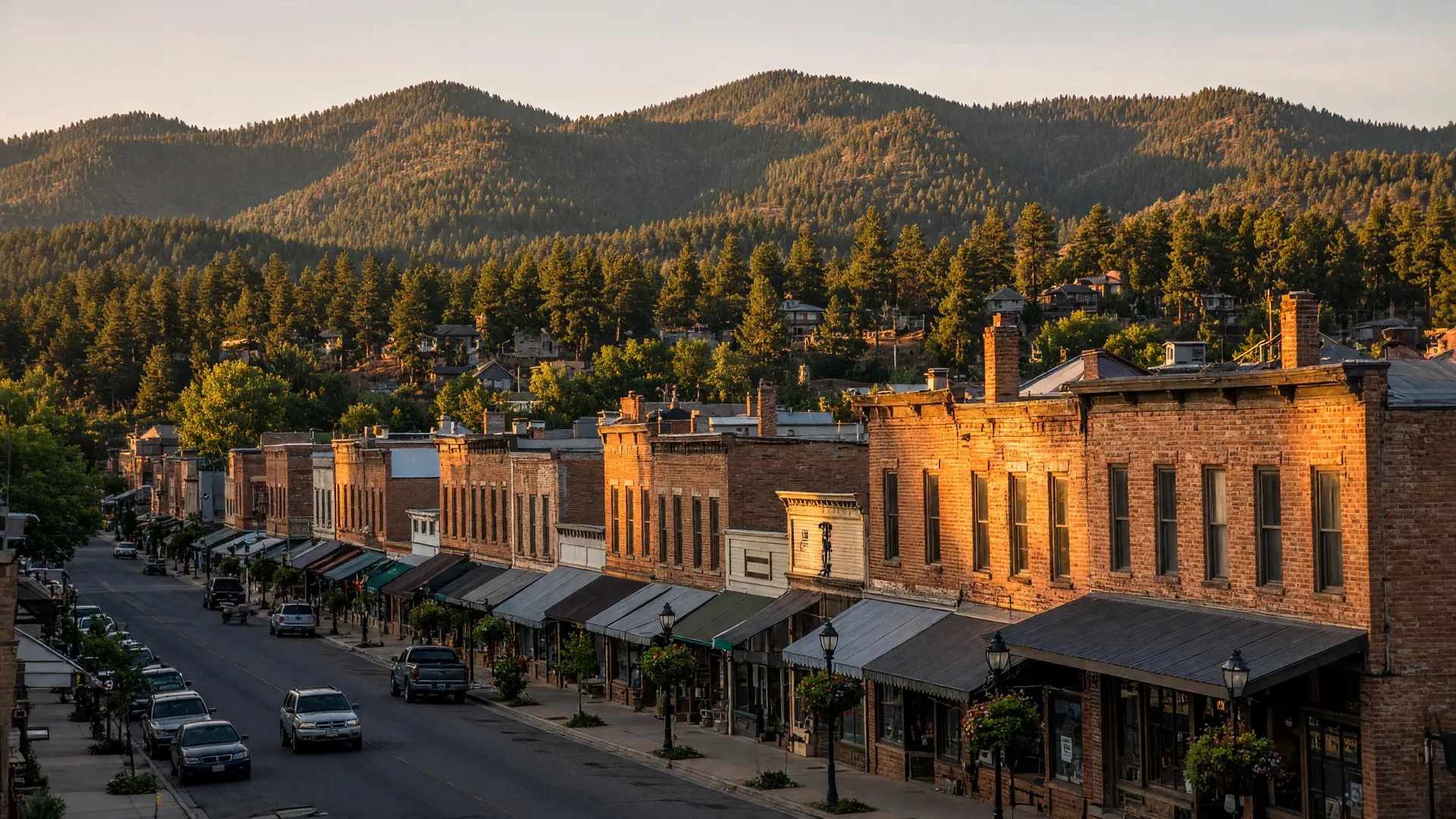
Cameron Park
Foothill suburb with strong schools and services on the US 50 corridor between Placerville and the valley.
Explore Cameron Park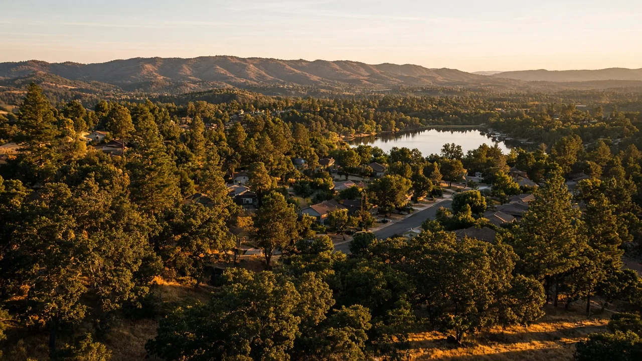
El Dorado Hills
Planned foothill community with Town Center shopping and strong schools closer to Folsom.
Explore El Dorado Hills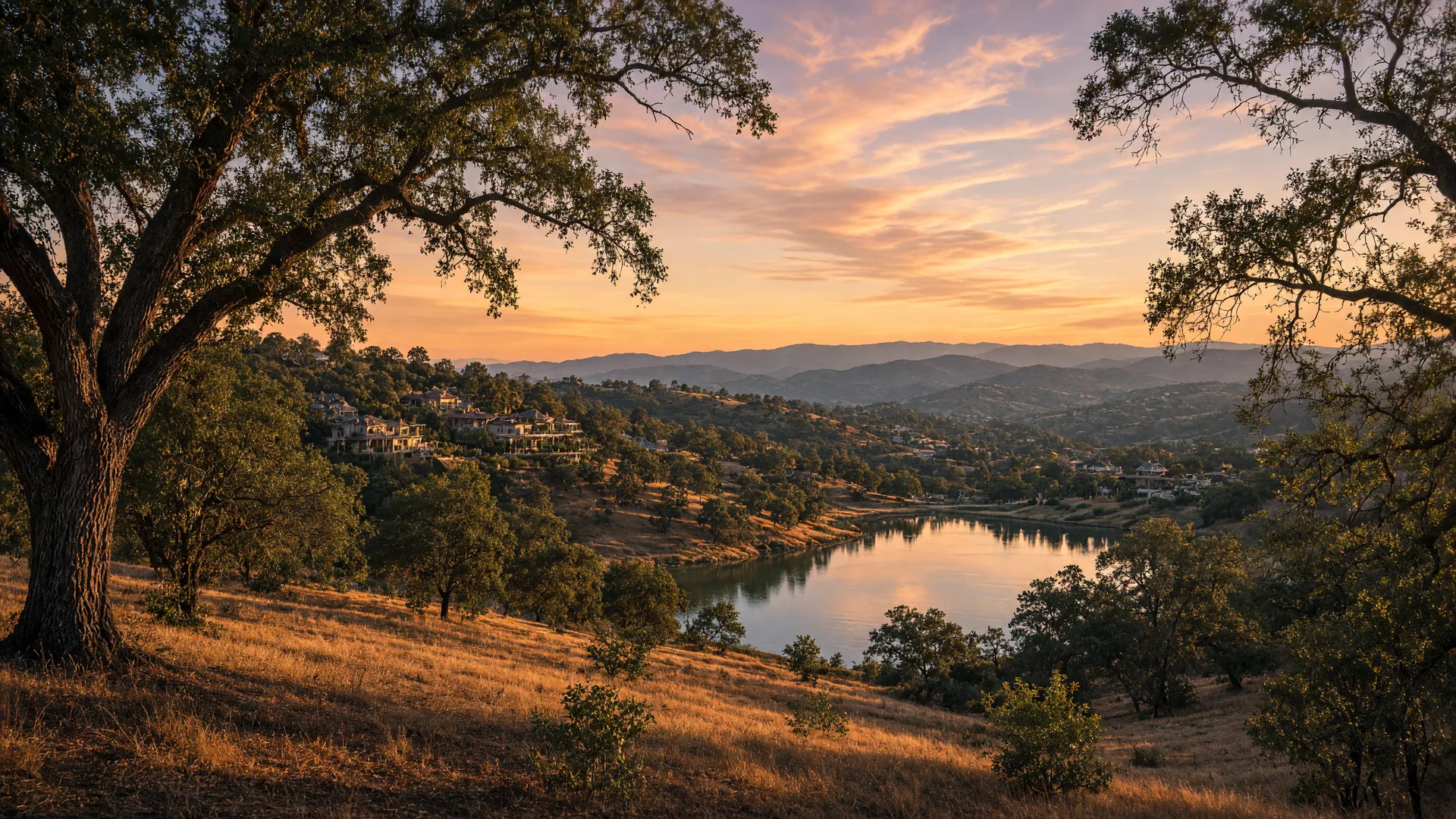
South Lake Tahoe
The alpine resort city about 45 minutes east on US 50, for lake and ski life at a faster pace.
Explore South Lake Tahoe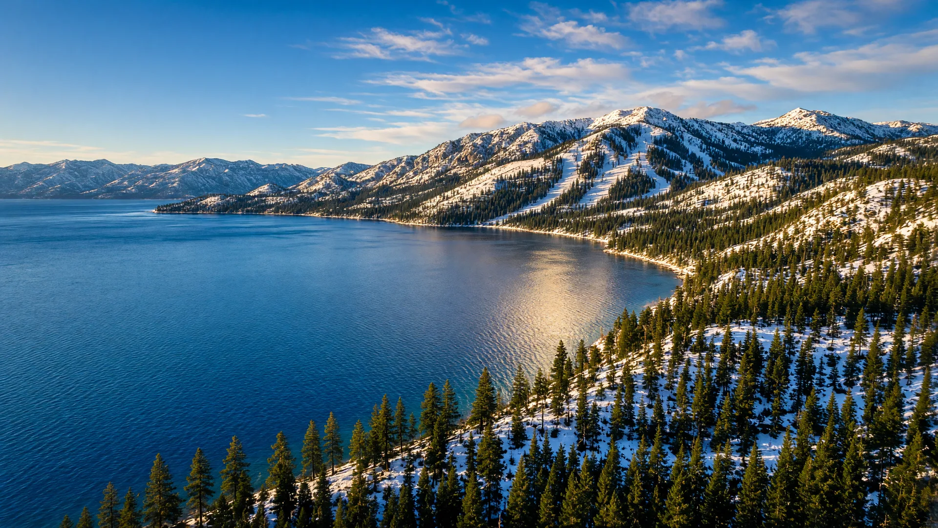
Pollock Pines vs. Placerville vs. Cameron Park: Which Is Right for You?
Price ranges reflect the latest published data from major market trackers; drive times are typical and traffic dependent. Use the table as a starting point, then compare homes in person with Mike.
| Metric | Pollock Pines | Placerville | Cameron Park |
|---|---|---|---|
| Median home price (latest) | ~$395K to $401K (Redfin / Zillow, 2026) | ~$473K to $492K (ACS 2024 / City-Data) | ~$668K to $694K (ACS 2024 / City-Data) |
| Typical drive to downtown | about 55 to 65 minutes via US 50 | roughly 50 to 60 minutes via US 50 | about 35 to 45 minutes via US 50 |
| Vibe | Forested Highway 50 mountain gateway | Historic Gold Country county seat | Foothill suburb with services |
| Elevation | ~3,980 ft | ~1,867 ft | ~1,200 ft |
| School districts | Pollock Pines Elementary (K-8) and El Dorado Union High | Placerville Union (K-8) and El Dorado Union (9-12) | Buckeye Union (K-8) and El Dorado Union (9-12) |
| Winter snow | Snow some winters; US 50 plowed for Tahoe traffic | Occasional light snow | Rarely snows |
Cost of Living in Pollock Pines (2026)
Housing is the biggest line item, just as it is everywhere in California. Home price figures come from the latest published Redfin and Zillow data for the 95726 area.
A Pollock Pines mortgage at the ~$395K to $401K median is among the most approachable in the mountain region, often below Sacramento's city median. When you talk with Mike, he will bring current rate and payment examples for the properties you like, plus well, septic, tax, insurance, and heating numbers, so the monthly picture is honest before you shop.
Schools in Pollock Pines
Your address determines your school district, so verify assignment block-by-block. These are the main districts and schools that serve the Pollock Pines area.
-
Pollock Pines Elementary School District (K-8)
Operates Pinewood Elementary (K-4) and Sierra Ridge Middle School (5-8); a small portion of the area is served by the tiny Silver Fork Elementary School District, also K-8.
-
El Dorado Union High School District (9-12)
Serves high school students across the county's foothill towns, listing Pollock Pines as a feeder with Union Mine High School among its campuses.
-
Address-based assignment
Your address determines your school, so verify the exact assignment block-by-block before you make an offer. All districts publish boundary information.
-
Private and charter options
Pollock Pines families also reach the private and charter options in the Placerville and Cameron Park area for the grades they want. Mike can point you to the campuses families in your target neighborhoods actually choose.
Amenities and Community Services in Pollock Pines
Hospitals and urgent care
A medical clinic serves the town directly, and Marshall Medical in Placerville is about 15 to 20 minutes down the mountain for hospital care, with Sacramento hospitals about an hour beyond.
Senior services
Mountain seniors have an active community presence here, and Placerville-area senior services are a short drive down Highway 50 when more support is needed.
Libraries and learning
The library and school campuses anchor learning in town, with the county's foothill education community and community college options within easy reach.
Transit and airport
The town is car dependent on US 50, with El Dorado Transit connecting the corridor to Placerville, and Sacramento International Airport (SMF) roughly an hour to an hour and a half away.
Shopping and daily life
The local shopping center covers groceries, gas, and daily needs without leaving town, with Placerville's full retail and Main Street about 20 minutes away.
Civic and cultural life
Community halls, churches, firehouse events, and forest-town traditions keep the calendar lively, with county festivals and Apple Hill nearby.
Commuting from Pollock Pines to Downtown and the Region
Pollock Pines sits about 55 to 58 miles east of downtown Sacramento on US 50, a drive of roughly 55 to 65 minutes under normal conditions. For daily life, Placerville is about 13 miles west, so most errands never touch the Sacramento corridor.
- Pollock Pines to downtown Sacramento: about 55 to 65 minutes via US 50, roughly 55 to 58 miles.
- Pollock Pines to Placerville: about 15 to 20 minutes down US 50.
- Pollock Pines to Cameron Park: about 30 to 40 minutes via US 50 west.
- Pollock Pines to South Lake Tahoe: about 40 to 50 minutes east on US 50.
- By car: US 50 is the lifeline in both directions, and a reliable vehicle with snow capability matters in winter.
- Regional service: El Dorado Transit connects the mountain corridor to Placerville and the county.
- Air travel: Sacramento International Airport (SMF) is roughly an hour to an hour and a half away.
Parks and Recreation in Pollock Pines
Pollock Pines's recreation is the national forest itself: lakes, reservoirs, rivers, and miles of trails stretching from the town to the horizon of the Sierra.
Crystal Basin and Union Valley
The Crystal Basin recreation area, anchored by Union Valley Reservoir, offers boating, fishing, and camping at elevations that stay cool all summer.
Sly Park and Jenkinson Lake
Sly Park Recreation Area's Jenkinson Lake is a beloved local escape with beaches, trails, and picnic spots minutes from town.
South Fork American River canyons
The South Fork American River canyon, with its rapids, swimming holes, and trails, runs below the ridge and draws rafters and hikers from all over.
Dining and Shopping in Pollock Pines
Pollock Pines dining is honest mountain fare: family restaurants, pizza, barbecue, and cozy cafes along the Highway 50 corridor, with Placerville's Main Street dining a 20-minute drive away.
Local favorites
- Highway 50 corridor dining: family restaurants, pizza, and breakfast spots that fuel the town and the Tahoe traffic.
- County line stops: longtime roadside favorites where locals and travelers alike pull off US 50.
- Placerville's Main Street: casual dining, brewpubs, and historic storefronts about 20 minutes west.
Shopping and entertainment
- Daily errands: the town's shopping center covers groceries, gas, and everyday needs without leaving home.
- Placerville and Cameron Park close by: full grocery, retail, and dining options are 20 to 40 minutes away.
- Forest-town events: community markets, holiday events, and Apple Hill weekends keep the calendar lively.
Weather in Pollock Pines
Pollock Pines has a mountain-forest climate at about 3,980 feet: sunny days, genuinely cool summers, and winters that bring real snow, with the occasional heavy storm closing chains on US 50.
Warm afternoons at 3,980 feet that cool off comfortably at night
December and January averages, with accumulating snow through the season
Typical totals at this elevation, with heavier storms some winters (typical)
Forest skies stay clear through most of the year (typical)
Spring and fall are the most pleasant seasons, when daytime highs sit in the 70s and 80s. Summer evenings stay cool at elevation, and the oak country turns green and gold through the rainy season.
Pollock Pines Growth and Development
Pollock Pines grew from a lumber and railroad stop into the forest gateway of Highway 50, and its population of about 7,100 has climbed steadily since 2010 as foothill buyers trade valley heat for mountain air.
The town's growth runs along the US 50 corridor: new homes on forested edges, updated services in the shopping center, and a steady stream of Tahoe commuters and mountain buyers keeping the community vital, while the national forest holds the boundaries permanently in place.
What developers are building
- Forested-edge construction: new mountain homes on individual parcels continue to fill the pine-covered margins of town.
- Corridor services: the Highway 50 commercial strip keeps adding the shopping, dining, and services residents need.
- Forest recreation investment: the Eldorado National Forest sustains the lake, river, and trail networks that define the area.
- Community anchors: schools, the clinic, and the fire and community halls keep the town self-sufficient.
Pollock Pines Awards, Rankings, and Recognition
- U.S. Census Bureau2020 Census Population of 7,112
The census-designated place recorded 7,112 residents in 2020, up from 6,871 in 2010. Source: U.S. Census Bureau, 2020.
- Redfin / ZillowMedian Prices Near $395K to $401K
Redfin reported a median sale price around $401K and Zillow an average home value near $395.6K for 2026. Source: Redfin / Zillow, 2026.
- California Department of Education / EDUHSDK-8 Feeder District with Union Mine High School
Pollock Pines Elementary District feeds El Dorado Union High School District, which lists it among its K-8 feeder districts. Source: California Department of Education / EDUHSD, n.d..
Pros and Cons of Living in Pollock Pines
The Pros
- Some of the region's most affordable mountain pricing, with medians near $395K to $401K
- Cool forest summers and real four-season character at 3,980 feet
- Eldorado National Forest, Crystal Basin, and Sly Park recreation at the doorstep
- A self-contained town with its own schools, shopping, and clinic
- Placerville's medical and shopping services 15 to 20 minutes away
- A genuine mountain community without Tahoe's prices or crowds
The Cons
- The 55 to 65 minute drive to downtown Sacramento limits daily commuting for valley jobs
- Winter snow, chains, and snow removal are part of life some years
- Well water and septic are the norm, so systems matter in the inspection
- Retail is functional rather than abundant; full variety means a drive to Placerville
- Cellular and high-speed internet can vary parcel to parcel in the forest
- Wildfire awareness shapes insurance and defensible-space planning in the timber
Client Stories from Pollock Pines and the Region
Real engagements from the Sierra Home Transitions portfolio. Every family's transition is described factually; clients are named only as they have been on our public case-story page.
A room-by-room sorting and packing plan helped this family keep what mattered and release the rest, at a humane pace, before a confident move to a smaller home.
The Foothill DownsizingThe Miller Family / Downsizing & Sorting / 2024
A forested Pollock Pines-area property was prepared, priced, and sold on a reliable timeline, freeing an estate family to move forward without a lingering to-do list.
The Forest Retreat SaleThe Thompson Family / Market Home Sale / 2025
A single-story Folsom Hills home was priced, marketed, and sold on a reliable timeline, freeing the family to move forward with clarity.
The Folsom Hills Market ListingThe Reynolds Family / Market Home Sale / 2023
From the decision through the first night in the new community, one team handled the sale, the downsizing, and the move so the relocation stayed calm and unhurried.
Independent Living RelocationHelen S. / Relocation & Settlement / 2023
Searching for the Best Real Estate Agent or Relocation Specialist in Pollock Pines?
Whether you are relocating to Pollock Pines for the forest life, helping a parent downsize to a single-story mountain home, or handling a probate or inherited property on the ridge, Mike Giancanelli of Keller Williams Realty coordinates the whole picture: the neighborhood match, the sale or purchase, the transition logistics, and the family communication, with real local knowledge.
- 36 years of real estate experience in California, working with Sacramento, El Dorado, and Placer County families since 1990
- 290 homes sold across the region
- Seniors Real Estate Specialist (SRES) designation for senior relocations, downsizing, and probate sales
- Licensed California Realtor, DRE #01086118, with Keller Williams Realty
- One coordinator for the sale, the cleanout, the movers, and family communication

Realtor · SRES · Keller Williams Realty
CA DRE #01086118 · Sacramento Association of Realtors MLS
Pollock Pines FAQ: Everything Buyers Ask
People Also Ask about Pollock Pines every day. Here are the answers buyers and relocating families ask Mike most often.
Is Pollock Pines a good place to live?
For the right buyer, yes. Pollock Pines is a forested mountain community of about 7,100 residents on Highway 50 at roughly 3,980 feet, with median home prices near $395K to $401K, its own schools and clinic, and the Eldorado National Forest at the doorstep. Placerville's services are 15 to 20 minutes down the mountain, making it a calm, affordable fit for families and retirees who love the forest.
Is Pollock Pines safe?
Pollock Pines is a quiet, thinly settled mountain town with a low crime profile and neighbors who know each other. Like other Sierra-edge towns, it carries winter-snow and wildfire awareness, so buyers should review access, insurance, and defensible space early. Block-by-block due diligence is wise anywhere, and a local agent can point you to the parcels that match your comfort level.
What is the median home price in Pollock Pines?
This 2026 guide uses a median home price range of about $395K to $401K: Redfin reported a median sale price near $401K and Zillow an average home value of roughly $395.6K, with median list prices from about $382K to $398K. Prices vary widely with acreage, forest setting, and condition.
How far is Pollock Pines from Sacramento?
Pollock Pines is about 55 to 58 miles east of downtown Sacramento via US 50, a drive of roughly 55 to 65 minutes under normal traffic. Placerville, about 13 miles west, is the nearest full-service city at about 15 to 20 minutes away.
What is the weather like in Pollock Pines?
Pollock Pines has a mountain-forest climate at about 3,980 feet: warm summer afternoons in the 80s that cool off at night, winter lows near 28 to 32 degrees, and typical annual snowfall of roughly 30 to 60 inches, with the occasional heavier storm. The sky stays sunny through most of the year.
What are property taxes like in Pollock Pines?
California property taxes follow Proposition 13, typically about 1% of assessed value plus local bonds and assessments, with assessed values generally growing no more than 2% a year. Pollock Pines's forested parcels largely predate Mello-Roos and sit outside HOAs, so carrying costs are among the lighter in the region.
Which school districts serve Pollock Pines?
The Pollock Pines Elementary School District serves grades K-8, with Pinewood Elementary (K-4) and Sierra Ridge Middle School (5-8), and a small portion of the area is served by the Silver Fork Elementary District. High school students attend El Dorado Union High School District schools such as Union Mine High. Verify assignment block-by-block.
How long is the commute from Pollock Pines?
The drive from Pollock Pines to downtown Sacramento is roughly 55 to 65 minutes via US 50, about 55 to 58 miles. Placerville and Cameron Park, on the way west, cover most daily needs, so the long Sacramento run is generally the exception rather than the rule.
Is Pollock Pines expensive to live in?
No, relative to the region. Pollock Pines's median range of roughly $395K to $401K sits near or below Sacramento's city median of about $505K and far below Tahoe or El Dorado Hills, making it one of the more affordable mountain communities in the greater Sacramento area.
Where do Pollock Pines buyers find homes?
Most-searched areas include the forested lots along Pony Express Trail, the newer clusters near the shopping center, and the quiet pine lanes off Highway 50. Rural acreage and classic cabins round out the market, and this guide links each nearby community to a dedicated page.
Is Pollock Pines a good place to retire or downsize?
For seniors who want forest quiet with services in reach, yes. The town has its own clinic, Placerville's hospital and shopping are 15 to 20 minutes away, and single-level forest homes sit on generous lots. As a Seniors Real Estate Specialist, Mike Giancanelli helps families match the right home and services to the next chapter.
Is Pollock Pines close to Tahoe and Apple Hill?
South Lake Tahoe is about 40 to 50 minutes east on US 50, the Apple Hill orchard region around Camino is about 15 minutes west, and Placerville is about 20 minutes down the mountain. Pollock Pines sits at the center of the Sierra corridor, with recreation in every direction.
Ready to Move to Pollock Pines? Let's Talk.
Whether you are relocating now or planning a move for next year, a 15-minute conversation covers your timeline, your budget, and the Pollock Pines homes and parcels worth visiting first. No pressure, no obligation, just straight local guidance.
Mike Giancanelli, Realtor · SRES · Keller Williams Realty · CA DRE #01086118 · Serving Sacramento, El Dorado, and Placer Counties · Equal Housing Opportunity.